Map Navigation
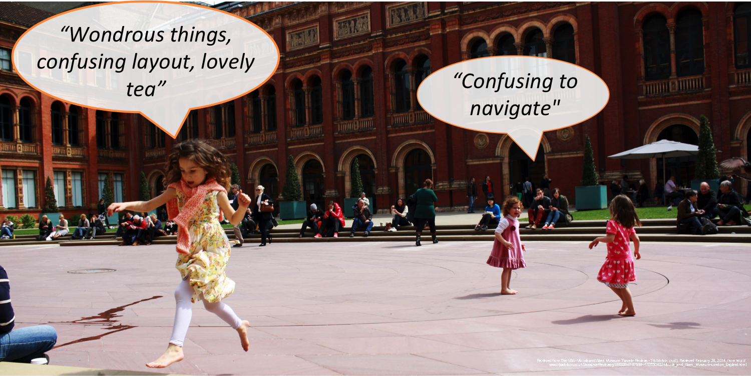
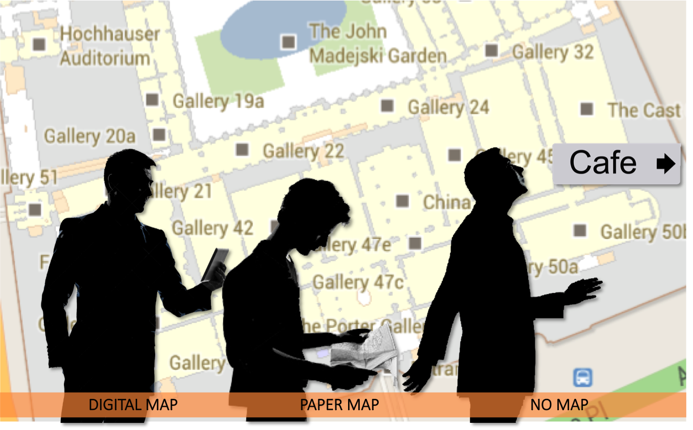
This study is part of a series of experiments focusing on gaining a deeper understanding of indoor navigators’ cognitive processes during wayfinding. The first study, which took place inside the Victoria & Albert Museum in London compared navigators using either only signs, a customary printed map, or a digital mobile map regarding their wayfinding efficiency, cognitive load, and spatial learning.
The current study is much more controlled and takes place in the ETH HIL building in Zürich. The building has a size of 56.000 m2 and 700 rooms and a very complex layout with eight incongruent floors, and confusing staircases. The study focuses on how wayfinding strategies are shaped by mental representation, individual spatial abilities, and navigation devices (signs, paper maps, digital mobile maps). Beyond merely looking at the devices’ usability, and how different visualizations effect wayfinding, the study includes a more fine-grained analysis of the physical properties that make the building itself usable for navigators.
We use a triangulation of survey, performance, and eyetracking data to gain further inside into individual assessments, strategies, and attentional processes.